Unleashing the Power of
Drones for 3D Site Mapping


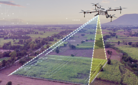
Our Drones use precise sensors and GPS technology can collect data with high accuracy, producing more accurate and detailed 3D site maps.

a large warehouse with carts and carts

Our Key Features

a green helmet and goggles
High Resolution Images
a green clock with a dollar sign
Use laser technology to create highly detailed 3D point
a green gear with a check mark in it
Mapping with a 97% Accuracy
a green triangle with a exclamation mark
Provide up-to-date information on changing conditions

Our Offering

a map of a housing complex

Construction and Engineering Services:


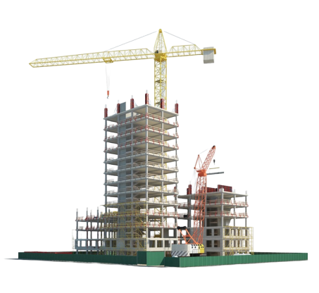
  • Progress Monitoring: Drones track construction progress by capturing 3D models at various stages.
  • Site Surveys: Drones create accurate 3D site maps for project planning and design.
  • Volume Calculations: Measure stockpiles and calculate excavation volumes.

Infrastructure Planning and Maintenance Services:


  • Urban Planning: Plan roads, bridges, and buildings by creating detailed 3D models.
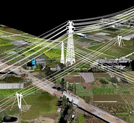
  • Utility Inspection: Inspect infrastructure like power lines and pipelines.
  • Disaster Response: Assess damage and changes following natural disasters.
a drone flying over a large metal tower
a large warehouse with carts and carts

Mining and Quarrying Services:


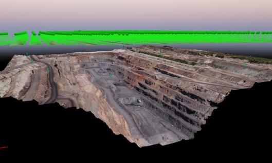
  • Volumetric Analysis: Calculate stockpile volumes and monitor mining activities.
  • Site Safety: Assess safety conditions and compliance in mining areas.

Agriculture Services:


  • Crop Health Assessment: Use multispectral cameras to monitor crop health and identify issues early.
  • Precision Agriculture: Optimize resource use by analyzing field data.
  • Drainage and Irrigation Planning: Assess field drainage and irrigation needs.
a large warehouse with carts and carts
a green helmet and goggles
Improve Protection

Drone inspections reduce accidents and ensure safer working environments by eliminating human access. Drones equipped with cameras and other sensors can be used for surveillance and monitoring purposes.

a green clock with a dollar sign
Cost and Time Savings

Drones have the potential to reduce costs and save time in various industries and applications due to their ability to perform tasks more efficiently and with less human intervention.

a green gear with a check mark in it
Comprehensive Coverage

Drones can provide comprehensive coverage in various applications and industries, thanks to their ability to access difficult-to-reach areas, capture high-resolution data, and operate in a versatile manner.

a green triangle with a exclamation mark
Early Detection

Early detection using drones refers to the use of unmanned aerial vehicles (UAVs) equipped with various sensors and technology to identify and respond to specific events or conditions at an early stage.